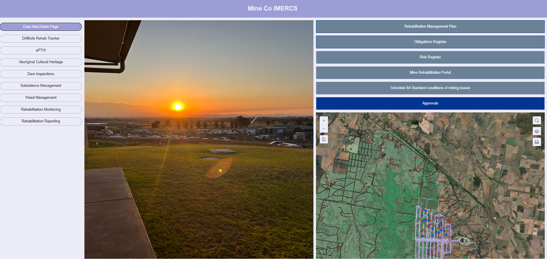
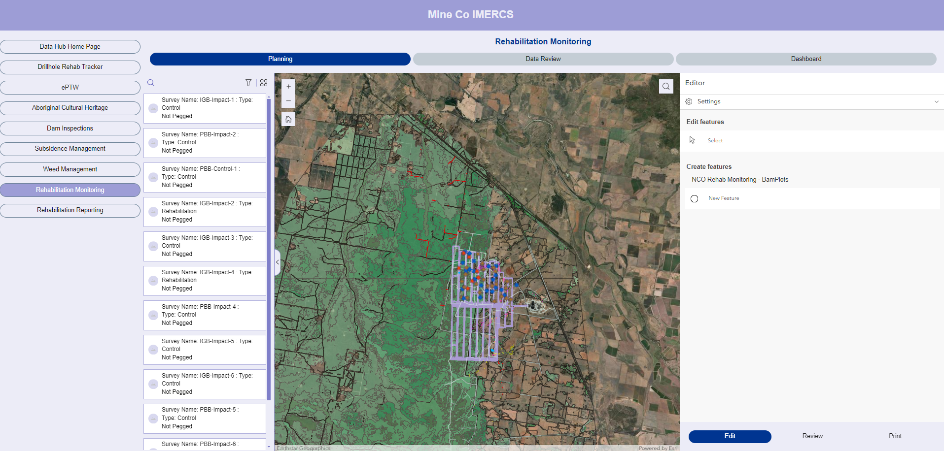
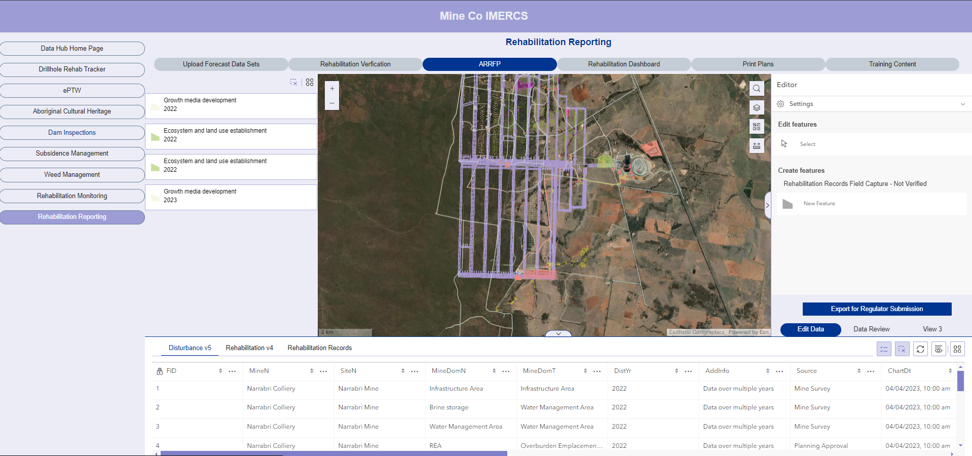
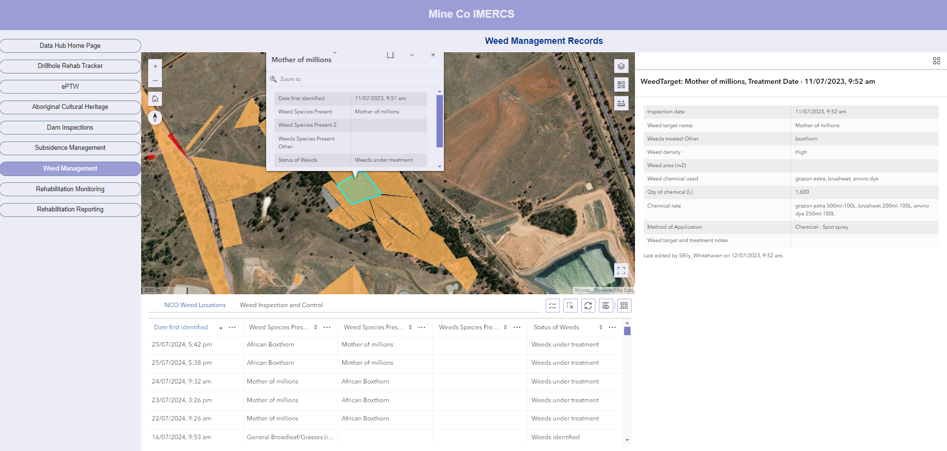
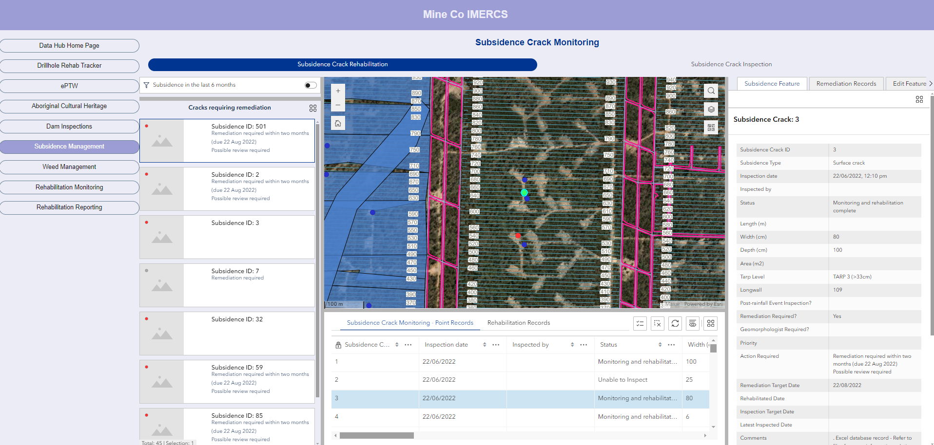
IEMA’s Integrated Mining, Environmental, Rehabilitation and Closure System (IMERCS) offers miners, explorers and facility operators cutting edge spatial data solutions to assist manage life of facility environmental and rehabilitation activities, and streamline record management and compliance management.
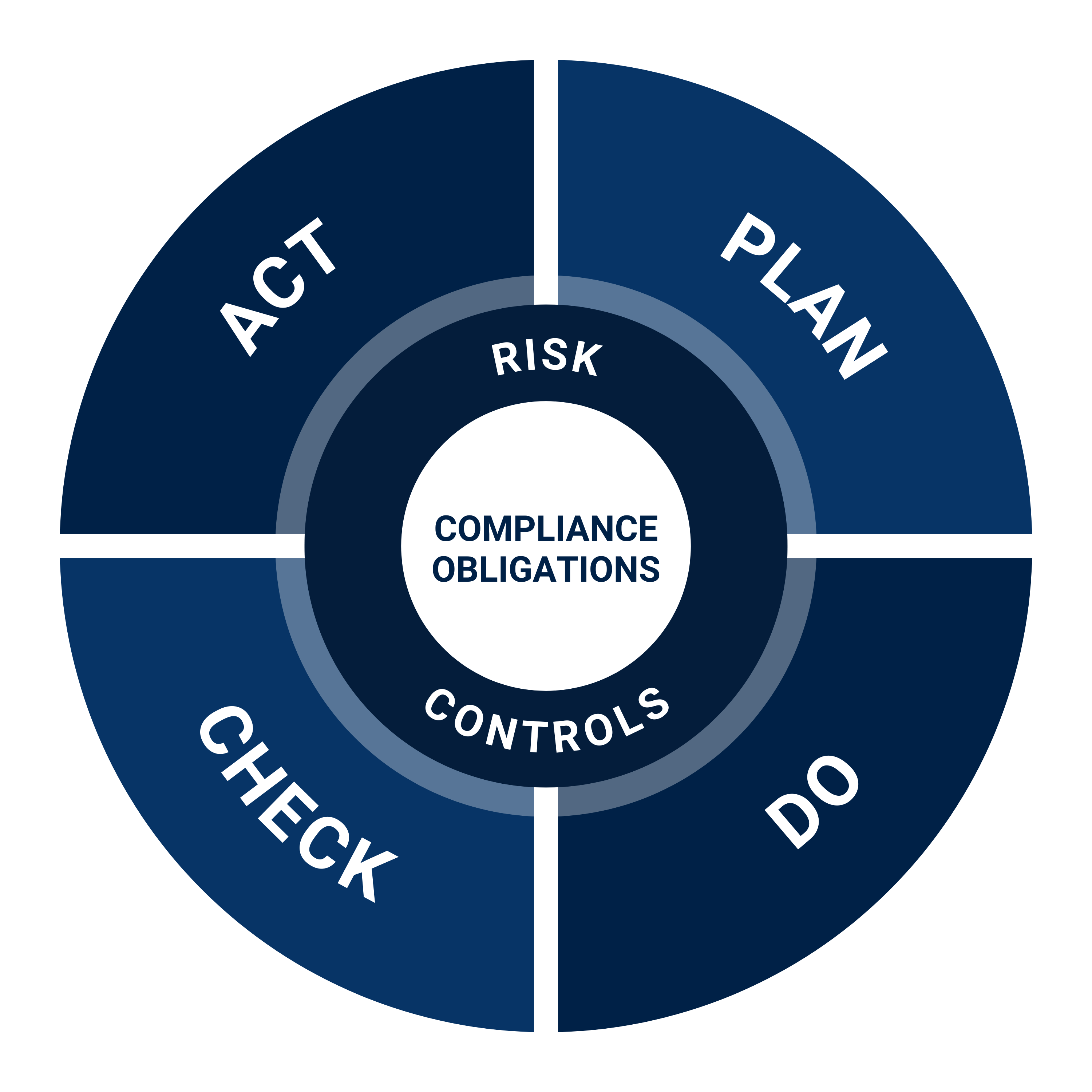
IMERCS Software as a Service (SaaS) suite of applications uses industry leading cloud-based technologies (including ESRI and FME automation software) to deliver efficiencies for common site-based workflows by removing outdated paper-based or spreadsheet systems. By integrating planning, execution, monitoring and reporting processes into centralised and mobile friendly tools, your data will always be where it needs to be – at your fingertips. Automations are ‘in built’ to streamline manual and repetitive tasks so you can focus on the things that matter in your role.
IMERCS solutions are developed by a team of experts across environmental management, rehabilitation and closure planning, and technology disciplines. IMERCS can be deployed on your organisation’s ArcGIS environment or IEMA can provide a fully supported hosted environment.
Our team offer onsite and remote support including user training, delivering ongoing value to your operational and compliance workflows. The solutions are offered as ‘off the shelf’ modules or as custom developments to meet your site-specific requirements.
IMERCS FEATURES
- Cloud based systems – Centralise data collection and storage, making information much more readily accessible to key stakeholders.
- Integrated workflows – Asset lifecycle data workflows – process management for planning, execution and reporting and record management across operational and rehabilitation activities
- Mobile/Offline Access – Field apps with cloud and full offline capacities including access to webmaps / field data, geofence notifications, user tracking and record capture tools.
- Automations – Automate repetitive tasks, generate email alerts and task notifications, streamlining workflow tasks for operational efficiency and enhanced conformance with organisational procedures.
- Custom app design – Bespoke app design to meet site specific requirements
- Data control – Single ‘source of truth’ data repositories with automated data verication, to feed into maps, apps and associated content that is available to configured groups
- Enhanced information sharing – Abilities to create bespoke dashboards for executives, managers and supervisors, as well as specific portals to share targeted information with external stakeholders such as the community and regulatory agencies.
IMERCS SUITE OF APPS
- Borehole Tracker
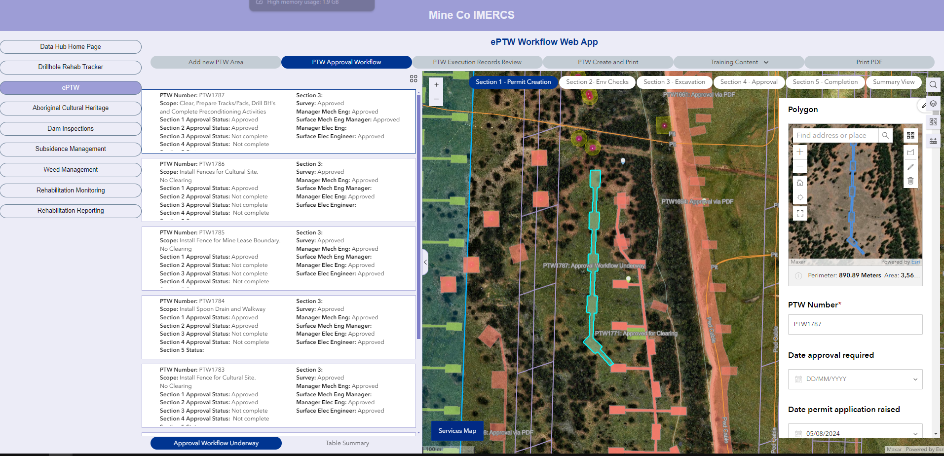
- Permit to Work – Ground Disturbance
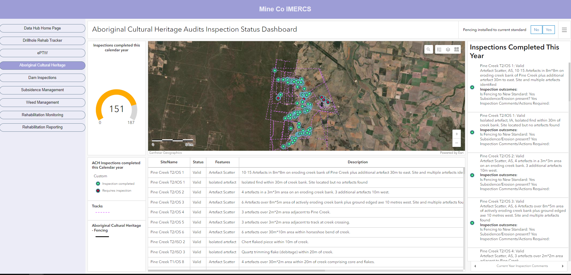
- Aboriginal Cultural Heritage
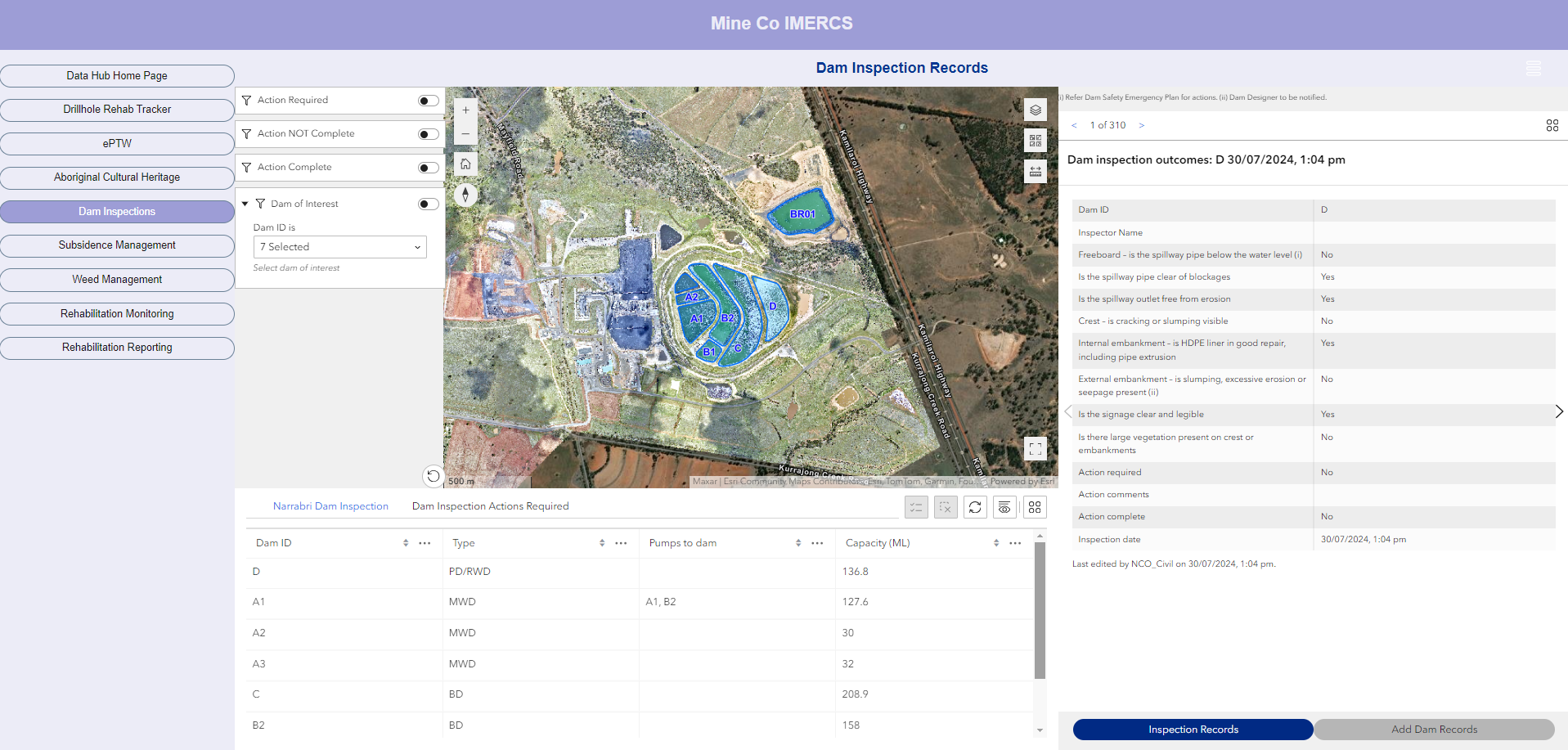
- Dam Inspections
- Rehabilitation Planning incl. topsoil / rehab resource
tracking - Rehabilitation Execution incl. QA/QC
- Rehabilitation Monitoring and Maintenance
- Rehabilitation Reporting
- Weed and Pest Management
- Historical Mining Register
- Closure Records and Communications
PROJECT DELIVERY
IEMA will deliver your IMERCS project through a phased approach to deliver site specific workflows and applications that meet your organisational requirements.
Key project stages and services are:
- Project scoping and module definition
- Data catalogue design and data management protocols
- Module development and agile testing
- Hosting or deployment on premise
- Support and maintenance
- User training
- Module enhancements

