

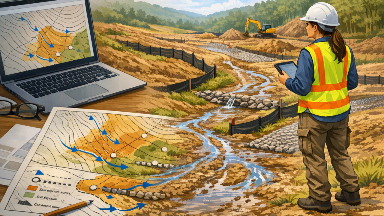
An effective Erosion and Sediment Control Plan (ESCP) is not just a desktop design exercise. The best ESCPs combine mapping, catchment interpretation, field verification, project team input and progressive review so erosion controls, sediment controls, runoff management and drainage treatments perform under real site conditions.
“The key lesson from our experience is that an ESCP only becomes truly effective when the desktop design is tested against real site conditions. Mapping tells us where problems may occur; walking the site shows us where the real risks are.”
— Maddie Stojcevski, Senior Consultant, IEMA
In environmental management, mine site rehabilitation, civil construction and land development, some of the most important lessons are not found in drawings, reports, aerial imagery or desktop assessments. They are found by walking the ground, observing how water actually moves across a site and testing whether erosion and sediment controls can be constructed, maintained and relied upon during rainfall.
Desktop ESCP design is essential, but it is only the starting point
That has certainly been our experience when developing and implementing ESCPs. A plan can be technically sound, professionally prepared and based on the best available mapping, contours, drainage lines, catchment boundaries and construction staging information, yet still miss the small site features that determine whether it will perform when the rain arrives.
The simple reality is that runoff does not read drawings. It follows the landform, slope breaks, wheel ruts, depressions, compacted tracks, disturbed soils and preferential flow paths that exist on site. For erosion and sediment control practitioners, this is the difference between a plan that satisfies an obligation and a plan that functions as a practical environmental management tool.
What field verification reveals that desktop assessment can miss
During erosion and sediment control site inspections, we have encountered features that are either invisible, simplified or easily underestimated during desktop ESCP design, including:
- Redundant fire trails that intercept and redirect overland flow
- Wheel ruts and informal vehicle tracks that concentrate runoff
- Animal trails that create small but persistent drainage pathways
- Minor depressions, low points and ponding areas that are not obvious on broad-scale contours
- Hidden drainage paths through vegetation, stockpiles, access tracks or disturbed ground
- Legacy earthworks that have altered ground levels, compaction and surface drainage behaviour
Individually, these features can look minor. In practice, they can be the difference between a sediment fence, diversion drain, check dam, sediment basin or stabilised access point that works and one that is quickly overwhelmed by concentrated runoff.
A wheel rut can become a preferential flow path. A shallow depression can concentrate runoff. An animal trail can redirect water around a sediment control structure that appeared perfectly positioned on the plan. A small site drainage feature can change the performance of an entire control sequence if it is not identified before installation.
Why site inspections improve ESCP performance
This is why ESCP field verification is so important. It gives environmental consultants, construction managers, site supervisors and contractors the chance to test assumptions, identify erosion and sediment risks that mapping alone cannot show, and speak directly with the people who will build, inspect and maintain the controls.
In our experience, the most useful question is not simply whether the ESCP is compliant, technically correct or aligned with a guideline. It is this:
“Can this plan actually be built, maintained and perform as intended under real site conditions?”
That question brings constructability, maintenance, rainfall response, soil disturbance, slope management and site drainage into the discussion early. It also helps avoid common ESCP implementation issues such as controls being installed in the wrong location, controls being bypassed by runoff, maintenance access being overlooked or erosion protection being delayed until after ground disturbance has already occurred.
Common failure sequence when site-specific drainage risks are missed
When site-specific erosion and sediment control risks are missed, the sequence is often familiar:
An unidentified flow path creates unexpected runoff. A diversion drain, sediment fence or other control becomes overloaded or bypassed. Sediment is mobilised. Turbid water moves into drainage lines or downstream receiving environments. The response shifts from planned erosion and sediment control management to reactive maintenance after rainfall.
By then, the opportunity to prevent the issue may already have passed.
Desktop planning remains essential. It provides the baseline data, catchment interpretation, risk assessment and design framework needed to develop effective erosion controls and sediment controls. But for complex construction sites, mine sites, infrastructure projects and rehabilitation areas, desktop planning should be treated as the starting point, not the finishing point.
Five elements of a stronger Erosion and Sediment Control Plan
The strongest ESCPs we have worked with tend to combine five practical elements:
- Desktop assessment to understand catchments, slopes, soil exposure, drainage lines and likely construction disturbance.
- Field verification to verify controls highlighted during desktop assessment and test how the plan can be implemented under real site conditions.
- Construction team engagement to test whether erosion and sediment controls can be built, accessed and maintained safely.
- Understanding actual drainage behaviour so controls respond to observed flow paths rather than assumed flow paths.
- Progressive review to ensure controls change as site conditions do, ensuring up to date management practices.
Together, these steps turn an ESCP from a compliance document into a practical management tool, one that reflects how water is likely to behave once works begin and one that supports better environmental outcomes, reduced sediment loss, clearer responsibilities and more efficient maintenance after rainfall.
One experience has stayed with us
While working alongside a civil construction contractor on a mine site, we made a habit of physically inspecting each proposed work area before finalising the erosion and sediment controls. It was not a box-ticking exercise. It was a practical conversation about how the site would actually behave once machinery moved in, ground was disturbed and rainfall interacted with the changed surface.
We walked the site, discussed constructability, traced flow paths, challenged assumptions and refined designs together. Those conversations often changed the location, configuration or sequencing of controls, not because the desktop plan was wrong, but because the field inspection revealed more precise information.
In several instances, what appeared to be a minor track, shallow rut or subtle low point became an important drainage consideration. By identifying those features before installation, the project team could adjust controls before rainfall tested the system. The resulting plans were more practical, easier to maintain and more effective in managing erosion and sediment risks.
The lesson was clear, and it continues to shape how we approach ESCP development, site-based environmental management and construction-phase erosion and sediment control:
Desktop assessments identify potential problems. Site inspections reveal real ones. Good planning sets the direction, but practical implementation determines the outcome.
Frequently asked questions about ESCP field verification
What is ESCP field verification? ESCP field verification is the process of checking an Erosion and Sediment Control Plan against the actual site conditions before or during implementation. It confirms drainage behaviour, constructability, control locations, access requirements and maintenance needs.
Why is field verification important for erosion and sediment control? Field verification is important because small site features such as ruts, depressions, informal tracks, animal trails and legacy earthworks can influence runoff and sediment movement. These features may not be obvious in desktop mapping but can affect how controls perform during rainfall.
When should an ESCP be reviewed? An ESCP should be reviewed before construction starts, after major site changes, following significant rainfall, when controls are damaged or ineffective, and whenever new drainage pathways or erosion risks become apparent.
Who should be involved in ESCP implementation? Effective ESCP implementation usually involves environmental professionals, engineers, site supervisors, civil contractors and maintenance crews. Involving the construction team early helps ensure controls are practical, buildable and maintainable.
For anyone involved in developing or implementing Erosion and Sediment Control Plans, our advice is simple: do the desktop ESCP work but make time to walk the ground. The field will almost always tell you something the map cannot. For construction projects, mine sites, rehabilitation works and land development activities, that site-based insight can be the difference between a plan that simply exists and a plan that genuinely protects soil, water quality and downstream environments.