

Summary
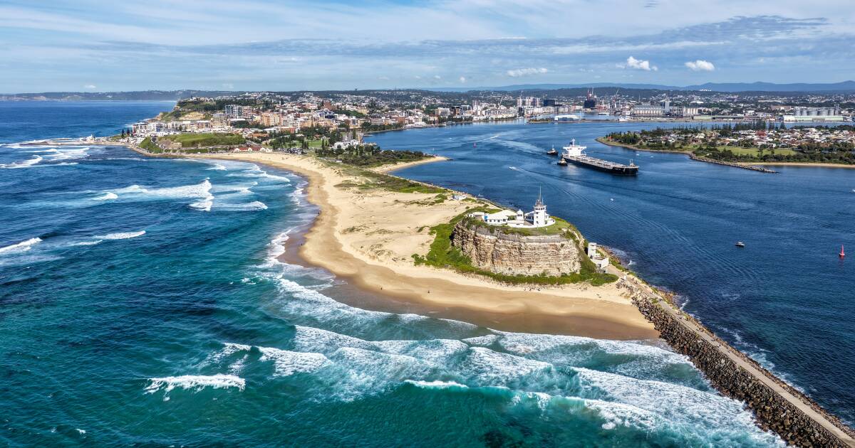
IEMA provides ongoing GIS and spatial data management support to the Port of Newcastle through a regular on-site secondment arrangement. Our consultant attends site one week per month, assisting personnel with GIS-related tasks, managing spatial datasets, and providing technical spatial support across port operations.
The Objective
Port of Newcastle engaged IEMA to provide specialist GIS expertise and spatial data management capabilities that were not available internally. The objective was to ensure spatial datasets were effectively maintained, accessible, and supported by reliable technical expertise to assist operational and planning activities across the site.
Our Response
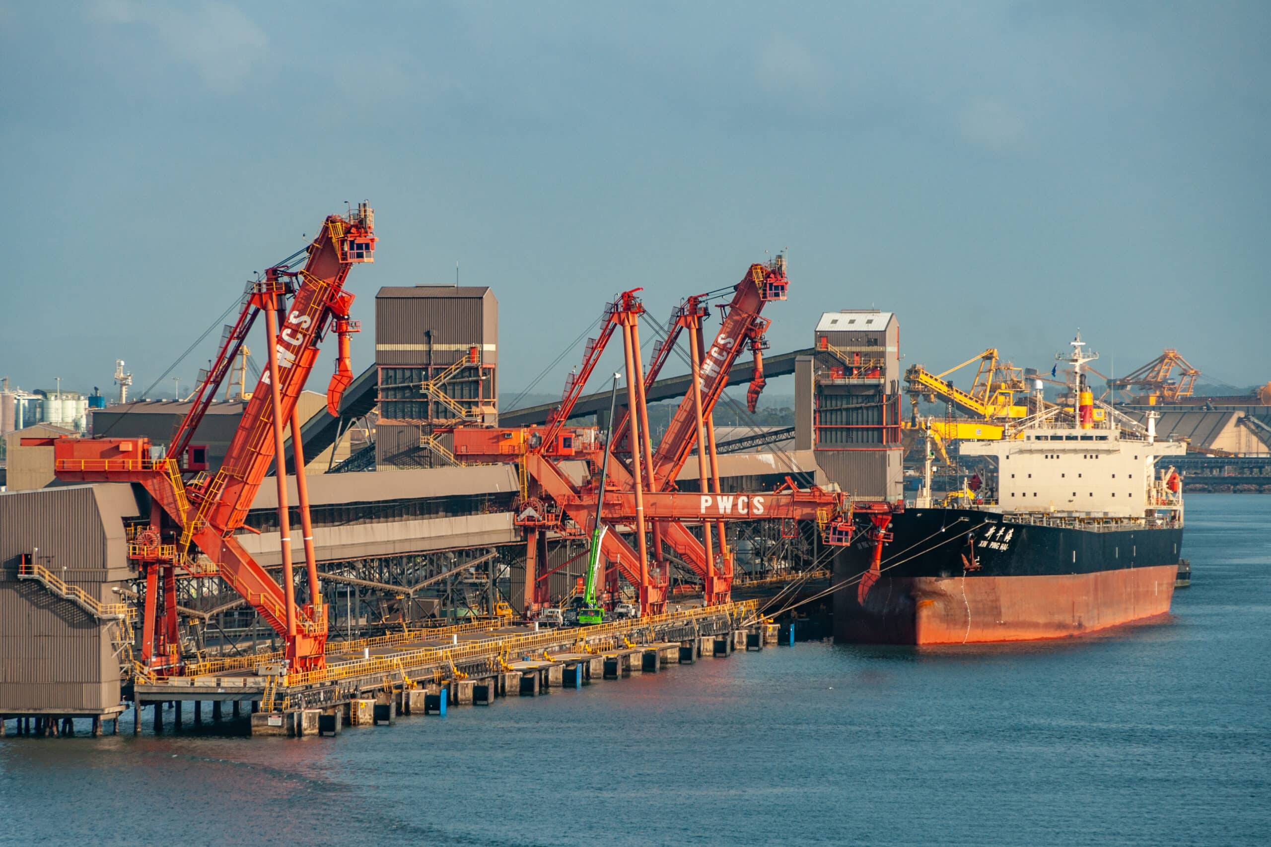
IEMA established a regular on-site GIS support arrangement, providing a dedicated consultant to work alongside Port of Newcastle personnel one week each month. Services included managing and maintaining spatial datasets, providing day-to-day GIS support, assisting staff with spatial data queries and mapping requirements, and improving the overall organisation and usability of spatial information across the operation.
The Impact
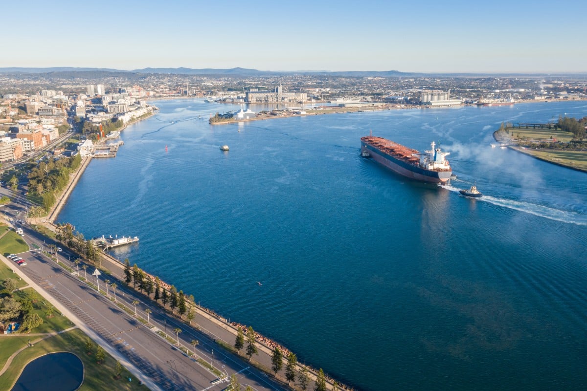
The secondment arrangement has provided Port of Newcastle with reliable access to specialist GIS expertise without the need for a permanent in-house resource. This support has maintained the high quality, consistency and management of spatial data, continued professional responses to GIS-related requests, and enhanced the organisation’s ability to utilise spatial information for operational and planning purposes.
Related Projects
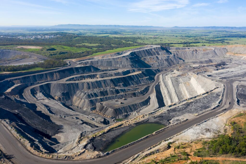
IEMA has provided ongoing spatial data management and regulatory reporting support for Ulan Coal Mine, ensuring compliance with NSW Resources Regulator requirements. The project involved consolidating and updating historical spatial datasets and developing spatial outputs to support rehabilitation reporting and rehabilitation cost estimation.
View Project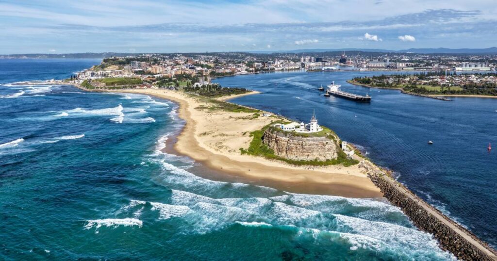
Port of Newcastle – GIS & Spatial Data Management Support
IEMA provides ongoing GIS and spatial data management support to the Port of Newcastle through a regular on-site secondment arrangement. Our consultant attends site one week per month, assisting personnel with GIS-related tasks, managing spatial datasets, and providing technical spatial support across port operations.
View Project